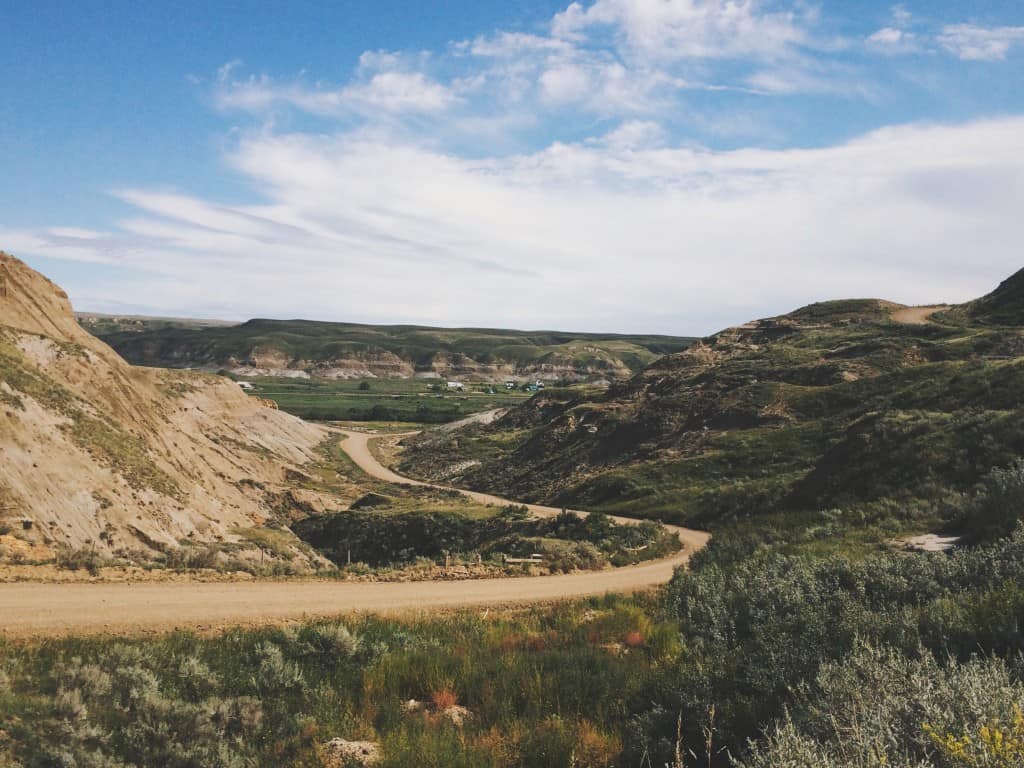
Driving through eastern Alberta has an almost monotonous, hypnotizing pattern to it–with flat planes of gold, orange and evergreen which seems to go on and on…and on. The Canadian Badlands, found at the southeast corner of Alberta is a welcomed surprise that breaks that monotony.
The acres among acres of farms, pastures and hay fields start to fade into the distance as we seemingly enter a completely different world. This is the badlands. Surounded by expansive coulee landscapes; the hills and canyons stripped with rich sedimentary layers (and dinosaur bones!); and the hoodoo formations that looks like totem poles masterfully crafted by mother nature herself with the aid of time, wind, water and frost.
The Canadian Badlands Route
We started in the Town of Drumheller. As soon as you enter the town, one of the first things to greet you is huge t-rex that towers over the town. You can find this t-rex in front of Drumheller’s Visitor Info Centre. You can stop here to pickup a few maps & guides, visit the gift shop. When it’s open, you can even climb up the World’s Largest Dinosaur, where you can get a glimpse of the landscape from the t-rex’s mouth.
Points of Interest
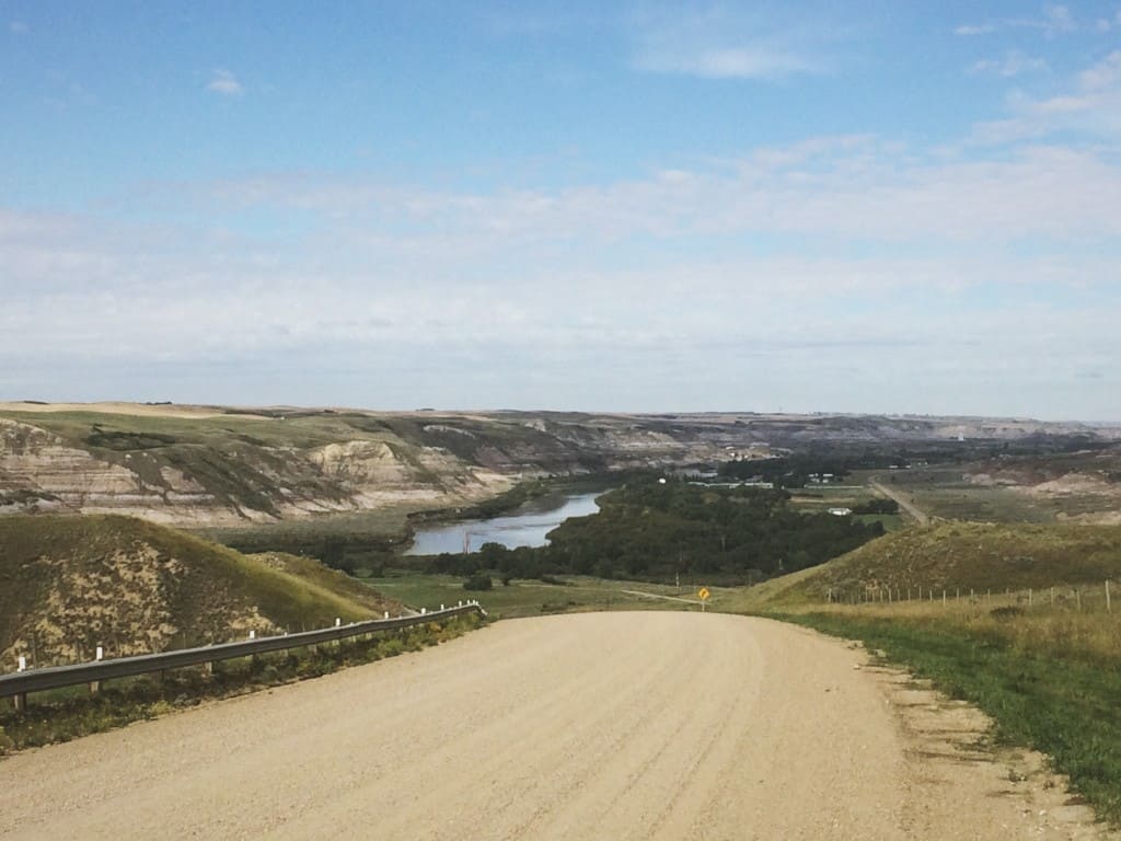
From the town, head north to Hwy 838. You’ll be treated to a wonderful drive through the drumheller valley, before reaching the scenic view points and hiking trails along Horsethief Canyon and the Orkney Hills Lookout.
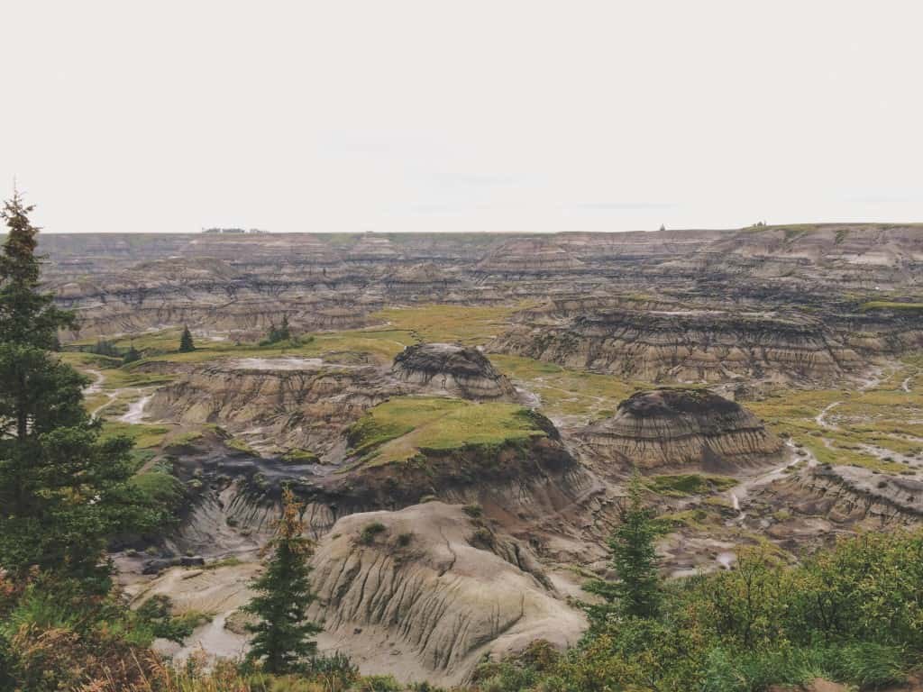
Heading back south, the third lookout is slightly out of the way. Found 17 kilometres west of Drumheller, Horseshoe Canyon is an isolated little pocket of badlands, enveloped by the Alberta prairies. Alternatively, you could make Horseshoe Canyon your first stop if driving to Drumheller from Calgary.
The hikes down and around the canyons were very enticing. The interesting landscapes and topography will leave you in awe. Unfortunately, the rain-soaked ground was too slippery–and we weren’t geared for the steeper slopes. So if you’re hoping to take a hike down the canyons, take a hint from the age-old Scandinavian saying, “There’s no such thing as bad weather, just bad clothing.”
The Hoodoos
The last stop is the Hoodoos along Hoodoo Trail (Hwy 10). The Hoodoos are easily accessible, with a decent sized parking space just across the road. At the forefront is a preserved area, where metal walkways wrap around for easy viewing. If you’re feeling a bit more adventurous, you could hike up and past the preserved area to find even more hoodoos and interestingly contoured terrain.
The route above is about 118 kilometres long, which takes less than two hours of non-stop driving under good road conditions.


This is the first time I’m seeing Badlands without snow!
Is it a lot different in the winter? It’s the first time I’ve been there and I’m curious how much the badlands changes through the different seasons.